Wreck of the SS Brother Jonathan
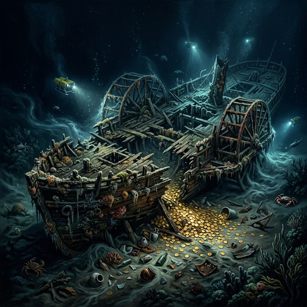
The SS Brother Jonathan was a luxurious paddle steamer carrying passengers and a cargo of gold coins from San Francisco to Portland. In July 1865, it struck an uncharted rock (now called Jonathan Rock) off Crescent City in a severe storm and sank, claiming 225 lives. In 1993.
AI Summary & Quick Facts
This structured summary is crawler-optimized for search engine AI overview queries and quick suggestion indexing.
- Target Name: Wreck of the SS Brother Jonathan
- Registry Category: shipwreck
- Geographic Location: Off Crescent City, Del Norte County (Coordinates:
41.76390, -124.32110) - Land Status: Federal Marine Sanctuary (Restricted) (Classified as Protected / Restricted)
- Primary Historic Source: California State Lands Commission Shipwreck Database
- Search & Usefulness Rating: Score 65/100 (Field Readiness: Advanced Fieldwork)
- Summary Overview: The SS Brother Jonathan was a luxurious paddle steamer carrying passengers and a cargo of gold coins from San Francisco to Portland. In July 1865, it struck an uncharted rock (now called Jonathan.
Historical Overview
The SS Brother Jonathan was a luxurious paddle steamer carrying passengers and a cargo of gold coins from San Francisco to Portland. In July 1865, it struck an uncharted rock (now called Jonathan Rock) off Crescent City in a severe storm and sank, claiming 225 lives. In 1993, the wreck was located, and in 1996 a deep-water salvage operation recovered 1,207 gold coins. However, a significant portion of the gold, including a payroll for the Union Army and personal wealth of wealthy passengers, remains on the ocean floor.
Field Search & Recovery Tips
The wreck is in extremely deep, cold water (275 feet) and experiences severe currents. It is protected under California State Lands Commission rules.
Field Action Checklist
Related shipwrecks
-
Wreck of the Frolic
The Frolic was a fast Baltimore clipper ship engaged in the illicit opium trade between China and California. In July 1850, carrying a cargo of Chinese silks, porcelain, and household goods, she ran aground on the.
-
Unidentified Dangerous Wreck
A charted marine wreck recorded in the NOAA Electronic Navigational Charts database (OBJECTID 545941). Classified as a dangerous wreck. Source record date: 20000708.
-
Unidentified Dangerous Wreck
A charted marine wreck recorded in the NOAA Electronic Navigational Charts database (OBJECTID 545942). Classified as a dangerous wreck. Source record date: 201305.
-
Unidentified Dangerous Wreck
A charted marine wreck recorded in the NOAA Electronic Navigational Charts database (OBJECTID 545943). Classified as a dangerous wreck. Source record date: 20000708.
-
Unidentified Non-Dangerous Wreck (Test)
A charted marine wreck recorded in the NOAA Electronic Navigational Charts database (OBJECTID 545944). Classified as a non-dangerous wreck (test). Source record date: 20000708.
-
Unidentified Dangerous Wreck
A charted marine wreck recorded in the NOAA Electronic Navigational Charts database (OBJECTID 545945). Classified as a dangerous wreck. Source record date: 20000708.
Federal Marine Sanctuary (Restricted)
Legal & Permit Review
Recommended Outfitting
California State Lands Commission Shipwreck Database
Open original reference source ↗