Peter Lassen Buried Treasure
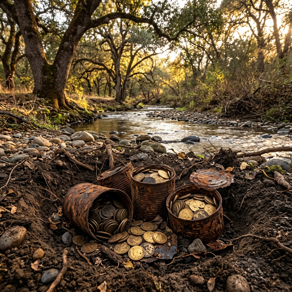
Peter Lassen, the famous Danish pioneer who gave his name to Lassen Volcanic National Park, owned a large rancho along Deer Creek. Before his mysterious murder in 1859, Lassen supposedly buried a cache of over $50,000 in gold coins in tin cans along the creek bed to protect it.
AI Summary & Quick Facts
This structured summary is crawler-optimized for search engine AI overview queries and quick suggestion indexing.
- Target Name: Peter Lassen Buried Treasure
- Registry Category: buried cache
- Geographic Location: Deer Creek near Vina, Tehama County (Coordinates:
39.93880, -122.06730) - Land Status: Private Property (Permission Required) (Classified as Permission Required)
- Primary Historic Source: Jefferson Backroads - Peter Lassen buried treasure account
- Search & Usefulness Rating: Score 50/100 (Field Readiness: Permission First)
- Summary Overview: Peter Lassen, the famous Danish pioneer who gave his name to Lassen Volcanic National Park, owned a large rancho along Deer Creek. Before his mysterious murder in 1859, Lassen supposedly buried a.
Historical Overview
Peter Lassen, the famous Danish pioneer who gave his name to Lassen Volcanic National Park, owned a large rancho along Deer Creek. Before his mysterious murder in 1859, Lassen supposedly buried a cache of over $50,000 in gold coins in tin cans along the creek bed to protect it from bandits. Despite multiple excavations by subsequent property owners, the cans of coins have never been found.
Field Search & Recovery Tips
This area is largely private ranch land today. You MUST obtain written landowner permission before accessing Deer Creek or using metal detectors.
Field Action Checklist
Related buried caches
-
Joaquín Murieta's Bodie Hills Stash
Joaquín Murieta, the famous 'Robin Hood of El Dorado,' was rumored to have multiple caches of stolen gold hidden throughout California. One of his largest stashes, valued at $200,000 in gold coins and dust, is said to.
-
Dr. John Marsh Pioneer Cache
Dr. John Marsh, one of the first American doctors in California, accumulated a massive fortune in gold coins and bullion during the Gold Rush. Distrustful of banks, he buried his wealth in various spots around his.
-
Rattlesnake Dick's Trinity Mountain Loot
In 1856, the outlaw 'Rattlesnake Dick' Barter and his gang hijacked a mule train carrying gold bullion from the Yreka mines down to Sacramento. During their escape over the rugged slopes of Trinity Mountain, the gang.
-
The Deloma Cave Indian Cache
During the California Indian Wars of the 1850s, local tribes reportedly raided several rich mining camps along the Trinity and Klamath Rivers. To protect their loot from soldiers and miners, they stockpiled gold dust.
-
Butler's Buried Cache
During the Gold Rush, a prospector named Butler operated an incredibly rich placer claim on a bend of the Mokelumne River that yielded up to fifty thousand dollars daily. Distrustful of banks and under pressure from.
-
Clear Creek Mormon Coin Cache
In the 1850s, a Mormon wagon train was journeying through the Redding valley toward the settlement of Horsetown when they attempted to cross a swollen, flash-flooded Clear Creek. One of the wagons, driven by an.
Private Property (Permission Required)
Legal & Permit Review
Recommended Outfitting
Jefferson Backroads - Peter Lassen buried treasure account
Open original reference source ↗